The Best Jungle Photo Spots around Alajuela in Costa Rica

Explore Jungle pictures of Alajuela with the travel spots on a map
Download the Travel Map of Costa Rica on Google Maps here
8 Jungle Spots of Alajuela on a Map
Pictures of Jungle on the interacive map of Alajuela
Download On Google Maps 🗺️📲Jungle Spots and Pictures around Alajuela
Discover popular destinations in Alajuela with their travel guides
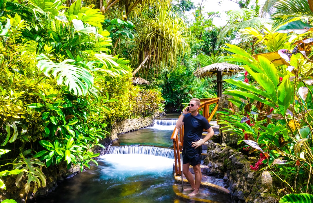
La Fortuna
Read the Travel guide View on Google Maps
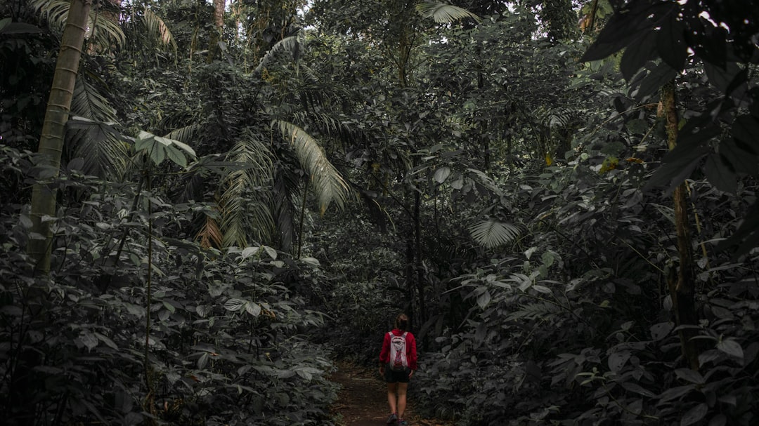
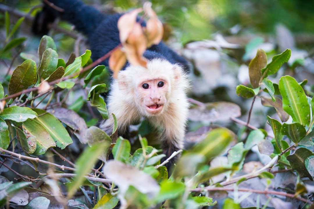
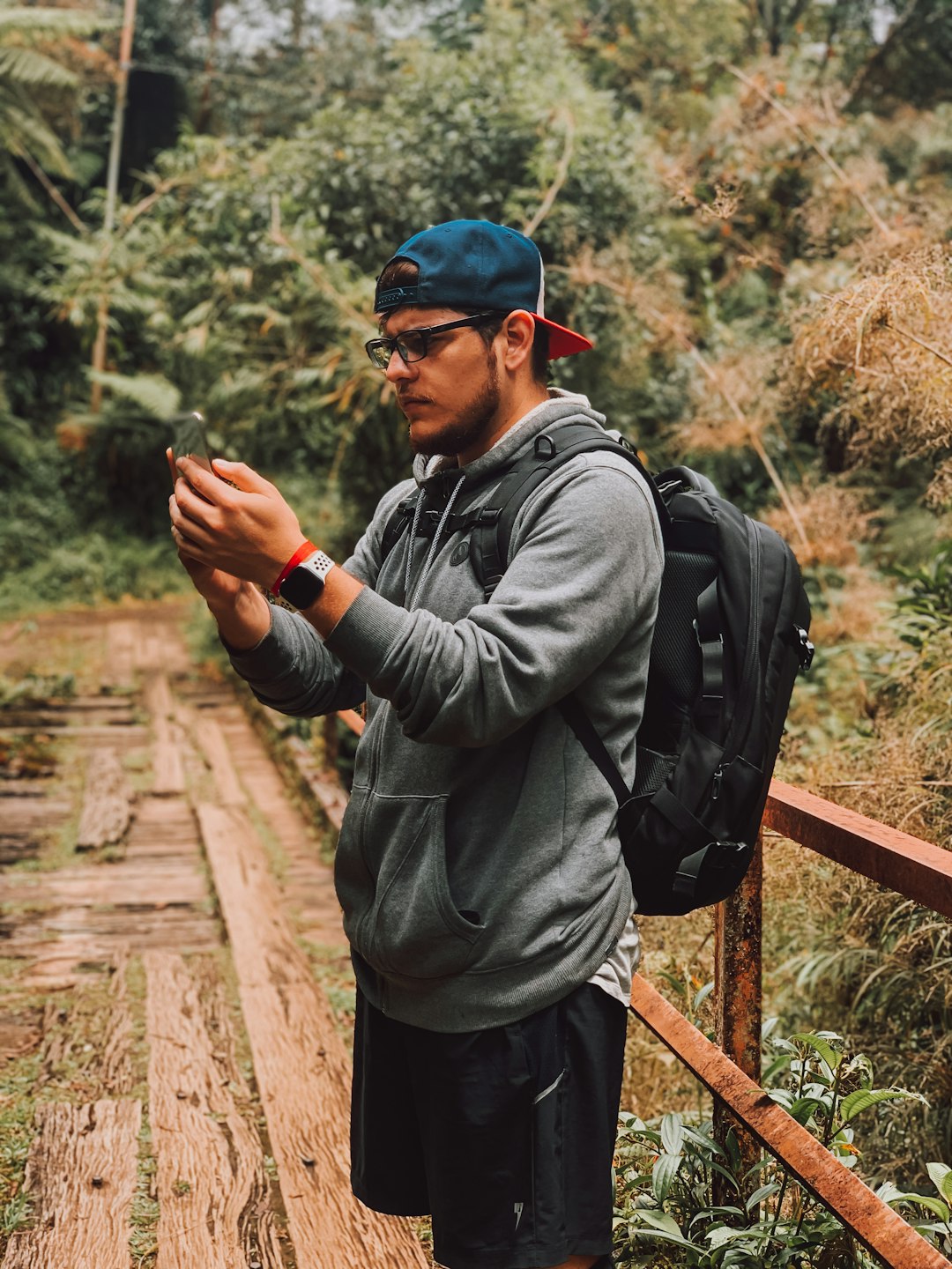
Alajuela Province
8 km away from Alajuela
Read the Travel guide View on Google Maps
Arenal Volcano National Park
8 km away from Alajuela
Read the Travel guide View on Google Maps
Tempisque River
70 km away from Alajuela
Read the Travel guide View on Google Maps
Tarcoles
78 km away from Alajuela
Read the Travel guide View on Google Maps

Refugio Cerro Dantas
78 km away from Alajuela
Read the Travel guide View on Google Maps
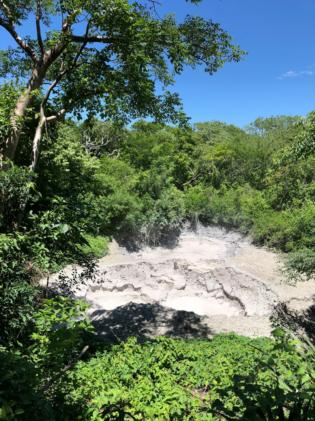
Parque Nacional Rincón De La Vieja
82 km away from Alajuela
Read the Travel guide View on Google Maps
Book your Travel Experience in Alajuela
Discover the best tours and activities in Alajuela and book your travel experience today with our booking partners
Learn More about Alajuela
Find Hotels in Alajuela
Discover the best hotels around Alajuela, Costa Rica and book your stay today with our booking partner booking.com